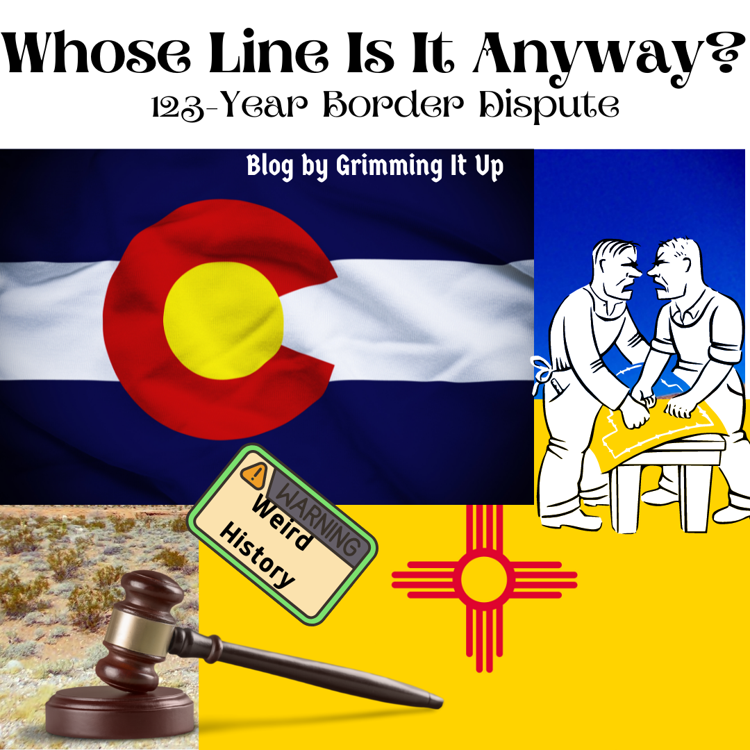

Did you know the United States had a long-standing dispute about a border for 123 years? This dispute didn’t involve any other countries. Instead, the conflict was about a state line and wouldn’t be resolved until late in the 20th century. The border dispute even went through the Supreme Court, and a president made a veto on it. This topic was a hot flaming mess for a long time. Let’s break it down. Which states were involved? What area(s) were in the dispute and why? What is the final decision on the border today?
Where in the US Was This Border Dispute?
The border dispute was between Colorado and New Mexico. The area in question was the southwestern portion of Colorado and the northwestern portion of New Mexico (from what I can tell, it included the Four Corners region). The dividing line between these two states was to be the 37th parallel. Congress decided this when Colorado became a state in 1876.

What Was the First Dispute?
The San Luis Valley was the problem area. In 1870, New Mexico Territorial Representative José Francisco Chaves introduced congressional legislation that would change the border of Colorado to make Conejos and Costilla Counties a part of New Mexico. Chaves believed the cultural identity of the people of the San Luis Valley would benefit the New Mexican territory. I’m not going to go into the socio-economic or the land grab issues as it doesn’t help this topic. Just know that this was the area of the long-standing dispute. Chaves’s legislation didn’t pass, but this would be one of the earliest disputes involving the 37th parallel border.

What Exactly Was the Dispute?
It was moving along. According to Congress, Colorado’s southern border, when it achieved statehood, was to be the 37th parallel. Of course, Colorado requested a land survey to mark this border, completed by Ehud N. Darling in 1868. The General Land Office commissioned a new survey by John J. Major in 1874. When the 103rd meridian established a line known as the “Cimarron Meridian,” intersected with the 37th parallel, the United States Surveyor General employed Levi S. Preston to retrace the northern boundary of New Mexico in 1900.
Wait, What Happened to Darlings Markers?
A couple of years went by, and Carpenter noted that at least one of Darling’s monuments used in his survey was no longer visible. When several of Ddarling’s markers were also missing, Colorado invited New Mexico and the Interior Department to join in on the resurvey, but neither did. Both states petitioned the General Land Office in 1902. The General Land Office recommended the whole southern line be resurveyed and re-established. At this point, the General Land Office had Howard B. Carpenter resurvey the area. Carpenter was explicitly instructed not to retrace the lines previously established. Instead, to do an independent survey and, while he was at it, destroy all evidence of the corners and monuments that Darling had set.
Carpenter’s resurvey was completed in 1903, and his notes were filed in the Land Office in 1904. Carpenter did note the exact locations of Darling’s markers and monuments before their destruction. In 1908, Congress passed the Joint Resolution that accepted Carpenter’s survey as “the proper location of the 37th parallel and the true boundary line” between the states of Colorado, Oklahoma, and the Territory of New Mexico. President Theodore Roosevelt vetoed this; the General Land Office abandoned its recognition of the Carpenter line and continued recognizing the Darling and Major Preston lines as the boundary.
The Basic Gist of the Long-Standing Dispute
New Mexico became a state in 1912. The long-standing dispute still continued back and forth. New Mexico wanted the Joint Resolution line acknowledged, and Colorado stood firm on the Darling line. Until 1990, New Mexico brought the case before the US Supreme Court. The Supreme Court finally declared that Darling and Major-Preston’s line was the border between Colorado and New Mexico. Funny how Oklahoma’s portion was never under dispute. Spending 123 years and who knows how much money quibbling over this seems like it was a silly, trivial argument.
Other Colorado History
If you would like a bit more about Colorado history, we have some true crime stories you might like. Colorado’s Other Cannibal and Twisted Trail. The first story isn’t about Alfred Packer! The second story flushes out additional crimes that may be tied to the same group of spree killers that took Karen Gramer’s life.
Thank you for spending time with us today. We appreciate each and every one of you!
Sources:
All news articles, pictures, and/or videos are used under the Fair Use Act, and individual sources are given credit.
https://www.9news.com/article/news/investigations/when-a-colorado-governor-declared-martial-law-and-blocked-poor-new-mexicans-at-the-border/73-516254262
https://www.historycolorado.org/exhibit/borderlands
https://www.historycolorado.org/story/borderlands-southern-colorado/2020/02/20/were-they-mexicans-or-coloradans-constructing-race
https://supreme.justia.com/cases/federal/us/267/30/